Spatial data is central to distilling a complex set of data down to a simplified picture, usually supporting the important transformation of data into information. As a result MX:Spatial provides an array of geospatial technologies woven into every corner of the MX suite. This includes traditional GIS functions and map displays but is embedded in location aware work, asset and workforce functionality supported by the location aware MX:Mobile app.
MX:Spatial, Work, and Asset Management
The MX spatial has been designed from the bottom up to work as a core element of the MX:Work, and MX:Asset modules rather than a separate module grafted on as an afterthought. Intended as a multiplier for the data captured through those modules with minimal barriers to interaction with that data on a spatial basis.

MX:Spatial and MX:Mobile
While often discussed as separate modules, MX:Spatial is an integral part of the MX:Mobile app. From location-aware job and asset workflows (i.e. show jobs or assets near me), through mobile mapping and location tracking, MX:Mobile is a fully location-aware application. See our page on MX:Mobile for more information.
MX:Spatial – Routing
MX:Spatial is combined with Work and Asset management to provide spatial routing of work. Used for field crews to receive optimised routes of today’s tasks and to feedback automatically their location and calculations of ETA for their arrival to tasks.
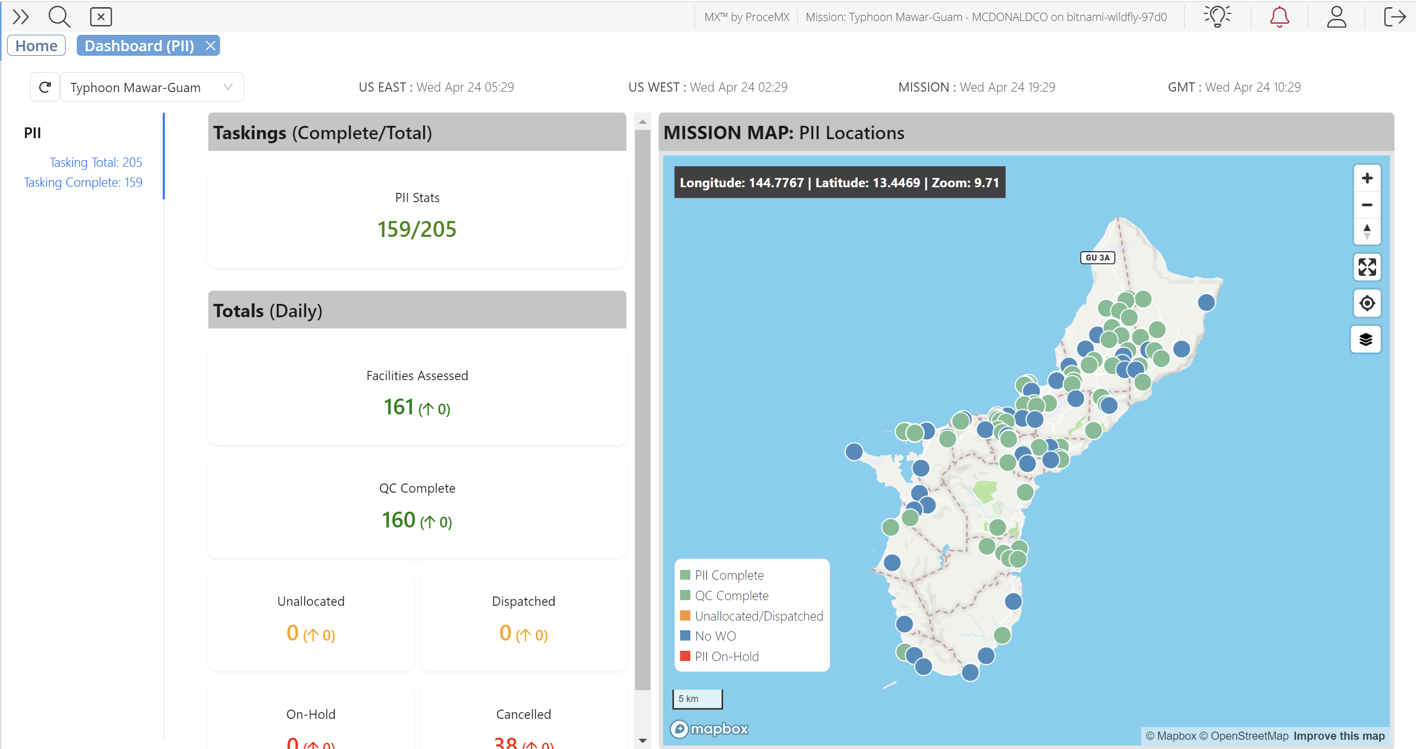
Dashboards and Spatial Displays
As part of the system-wide integration of spatial display, the MX:Spatial infrastructure is used to support some very advanced spatial information displays. This includes 3D visualizations of job locations, workforce locations, asset locations, dispatched routes etc. MX:Spatial displays also supplement our work and asset displays to ensure operators are aware of the geographic situation at all times.
GIS Server
At the heart of MX:Spatial is the Geographical Information System (GIS) server. Implemented using the extremely high performance and scalable MX architecture, at the base level MX offers a feature rich GIS server. Fully compatible with leading standards, the combination of familiar geodatabase, feature server and web mapping fully integrated into all MX deployments, importantly without expensive 3rd party license requirements.
In the early days of the MX platform, it was recognised that the creation, storage, manipulation and presentation of spatial data was a critical part of any workflow and asset management. Initial versions of the MX suite utilised and integrated a leading commercial GIS server which proved to be somewhat restrictive, not sufficiently performant and expensive from a licensing point of view. As a result the MX:Spatial module was developed, a fully integrated spatial server implemented into the MX architecture. MX:Spatial was designed from the outset to focus on the feature set, performance, integration and security requirements while freeing the MX platform from the inherent restrictions and support dependencies of big-box 3rd party GIS vendors. At the same time MX:Spatial supports the all de facto GIS standards for integration and import data.
MX:Spatial has been designed with laser-focus on the users of the data and providing the appropriate spatial functions and data to the business as quickly as possible with tools for import, advanced geocoding automation, and integration to minimise the GIS infrastructure production phase that can bog down many other GIS implementations.
Spatial Data Integration
Being compatible with industry-leading GIS servers, MX:Spatial has the ability to import and work with your existing datasets. From geodatabases, shape files through GeoJSON and direct connection and consumption of existing spatial server data MX:Spatial is designed to bring all your spatial and non-spatial data together with a singular focus to fulfil your business needs.
As part of our location tracking functions for asset and workforce, MX can also integrate to 3rd party location provider data. Existing integrations to Verizon and Spot systems are in-place to supplement the location tracking of the MX:Mobile application.
Spatial Reasoning Engine
Underneath the hood, MX is a heavyweight enterprise application. This allows the use of complex algorithmic techniques combined with high performance, high volume number crunching and traditional spatial data analysis to get you usable and user-focused GIS data with minimal delay and setup. The proximity, grouping or any other spatial relationship between your data elements can be automatically analysed and processed for a wide array of applications. Examples include automatically grouping your data into work packages to updating the status of jobs based on asset or workforce locations.
Web Mapping and Integrated Spatial Displays
As part of a complete GIS stack, MX:Spatial provides as one of the default MX components a full-featured web mapping solution. Core functionality includes common web-map functionality including switchable tiled base-layers (provided from many commercial and open-source providers), unlimited configurable feature layers to display your data of all spatial types. Comprehensive options for iconography, coloring and shading, heatmaps and other display features are available. Extensive data security features integrated into the core MX system are extended to all spatial data, allowing fine-grained control over which users get access to your map layers.
Users have the ability to create their own layer derivatives with different symbology and underlying queries, slicing the data in almost infinite ways. These user-derived layers can then be re-published to the layer library for other users (including security controlled distribution of these user layers), allowing user groups to share their “view” of the world to help focus on their business objectives.
Spatial Data Tool and Spatial Query Tool
Two examples of the advanced spatial functionality which can be brought to bear are the Spatial Data Tool and Spatial Query tool. These tools are available in the default MX deployment and are an example of how the MX:Spatial server and related functions can be crafted into highly productive tools for users without the need for GIS training or familiarity.
The Spatial Data Tool allows users to import and export spreadsheets of their own excel data. This data may contain information such as job data and status and other essential job information. This data may contain coordinates, spatial data (such as WKT or GeoJSON), address information or perhaps no spatial data at all. MX:Spatial will then project, geocode and allow the user to draw shapes or click points on the map to “upgrade” this data to be spatially enabled. So long as the data has an identifiable unique key column, the spreadsheet can be updated externally without the need to export/import the spatial data again, and MX will maintain the spatial data while updating any appropriate fields (i.e. for status updates). This data can now be used as a map layer and added to the layer library alongside any other spatial layers, with users unaware of how this data was sourced, it is simply now another map layer.
The Spatial Query tool allows users to combine datasets and generate excel reports on the spatial relationships between any spatial layers. This can be on the basis of the layers overlapping (intersecting) in some way or from a proximity search (measured in feet). Some example applications are:
Emergency Jobs in Clark County, NV. The user begins with 2 spatial layers - current jobs including a job status field, and US Counties. The user uses the query tool to reduce each layer to the necessary data, in the first instance by filtering the jobs layer to look for emergency jobs only, and secondly the counties layer is filtered specifically for Clark County. The spatial query tool then looks for an intersection of these two filtered layers, creating an output excel file listing attributes of the jobs and the county.
Construction Permits near Gas Mains. The user begins with 2 spatial layers - city construction permits which are imported from the city authority automatically every night, and Gas Mains as laid by the utility company. The user does not need to filter the datasets further but the user does want to know about permits "nearby" the gas mains. The user sets up a spatial query to find any permits within 50ft of the gas main. Furthermore the user wishes to have this updated every day, so they use the spatial query tool to automatically repeat this search and email the results to them at 7am every morning.